Laboratory of Bio-Environmental Informatics
Research Theme
Main Research Theme
Study on environment monitoring using satellite data and ground-based measurements
The rise in PM2.5, CO2 and methane concentration has a potential impact on human health and the environment and has become a major environmental concern in many countries. Remote sensing is a crucial tool for environment monitoring. For mapping the distributions and changes of PM2.5, CO2 and methane concentration, some retrieval methods were developed using GOSAT (the Greenhouse Gas Observing Satellite) and MODIS (the Moderate Resolution Imaging Spectroradiometer) satellite data and ground observations data. Spatio-temporal analysis can help us understand their sources of occurrence and diffusion.
ssessing Oil Palm Growth Condition in Indonesia Using Remote Sensing Technique
This study focus on two main topics are utilization of remote sensing for assessing oil palm growth condition caused by basal stem rot disease (Ganoderma boninense) (1) and prediction leaf nutrient content (2). Quickbird imagery, spectroradiometer, multispectral and hyperspectral images that captured with drone are data in this study. The data mining as random forest (RF), support vector machine (SVM), treebag, kNN, and CART are classifier method for assessing basal steam rot disease. While the correlation analysis, simple regression, screening data for normalized difference analysis, vegetation index analysis and multivariate analysis are methods for leaf nutrient contents prediction.
Study on the relationship between anthropogenic activities and environment change using remote sensing technology
As the explosive growth of world population, human activities have been becoming one of the main factors to cause the change of environment. An adequate understanding of the relationship between anthropogenic activities and environment change is a prerequisite for human`s sustainable development. In this study, the remote sensing data (Landsat, MODIS, GOSAT and OCO-2) and ground-based observation data (air-quality data and meteorological data) are used to analyze the greenhouse gases changes, climate changes and land use changes, which are caused by human activities, such as crop residue burning, urbanization, construction of large-scale project and so on.
Monitoring the effects of global climate change on meteorological disasters risk by remote sensing technology
The analysis of global climate change is aiming to use RS on reacting the globe-scale or region-scale climate change, exploring multi-scale spatial and temporal distribution evaluation, optimizing the simulation and monitoring of ecological and environmental change. Under the global change background, RS plays an important role in detecting natural disaster risk in the fields such as atmosphere, hydrosphere, biosphere, and their interactions. The emerging developments in high resolution and full-spectrum remote sensing technology make it more convenient to get the key response factors and impact factors.
Estimation of natural forest biomass using satellite remote sensing data in Thua Thien Hue province, Vietnam
For this research, the data are required in ALOS PALSAR and PALSAR-2 with full polarization (HH, HV, VV). The radar backscatter at relatively long wavelengths can penetrate through the canopy and leaves in natural forestry, thus it is suitable for estimating biomass. The research objectives are to quantify above-ground biomass in natural forest in Thua Thien Hue province, Vietnam; and identify the trend and the extent of above-ground biomass changes in natural forest in the period from 2006 up to now. The methodology of PolInSAR and Tomography may be used to derive the height of forest canopy.
Research of Crop Classification Using Satellite Remote Sensing
In Hokkaido, crop monitoring using optical satellite remote sensing data is difficult because cloud cover strongly limits the number of available images. Remote sensing using synthetic aperture radar (SAR) has the potential to offer important agriculture-related information without the influence of weather. However, the research of the backscattering coefficient changes have yet to be established every growth stages or crop types. It will be efficiently that using remote sensing to correct the crop information in large agricultural fields. We research the long-term information obtained by SAR on crops (e.g., beet, potato, wheat, soy, maize etc.).We use these indexes to monitor and classify cropland, and then compare them with the ground true values.
Characteristics of Laboratory
Lab Introduction
As climate changes lead to serious environmental variation around the world, remote sensing technology has been more and more widely used in the environment research. Especially, with the development of space exploration and emerging technology, we can obtain various kinds of data from satellites and aircrafts. By these data, surface and atmosphere environment can be monitored and assessed from new perspectives. Affiliated to Agriculture Department, Hokkaido University, the highlights of our lab are carrying on research and education using remote sensing technology. Our researches include detecting environmental changes caused by anthropogenic activities (Greenhouse effect and increase of PM2.5 concentration related to human activities), acquiring essential information according to the spectral characters of substance, evaluating bio-environment for creating sustainable space and eventually, making contributions to guarantee the food and environment security.
Achievements
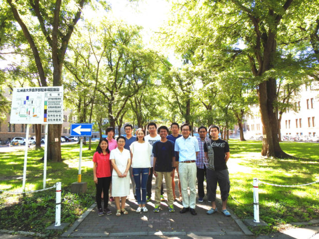
Members
D-3
- Guosheng Zhong
Research theme: Study on the impact of atmospheric pollution on eco-environment changes using satellite remote sensing technique - Heri Santoso
Research theme: Assessing Oil Palm Growth Condition in Indonesia Using Remote Sensing Technique - Shuai Yin
Research theme: Study on the relationship between anthropogenic activities and environment change using remote sensing technology
D-2
- Zhongyi Sun
Research theme: Monitoring the effects of global climate change on meteorological disasters risk by remote sensing technology
D-1
- Truong Thi Cat Tuong
Research theme: Estimation of natural forest biomass using satellite remote sensing data in Thua Thien Hue province, Vietnam
M-2
- Yuki Yamaya
Research theme: Research of Crop Classification Using Satellite Remote Sensing